Project Summary
|
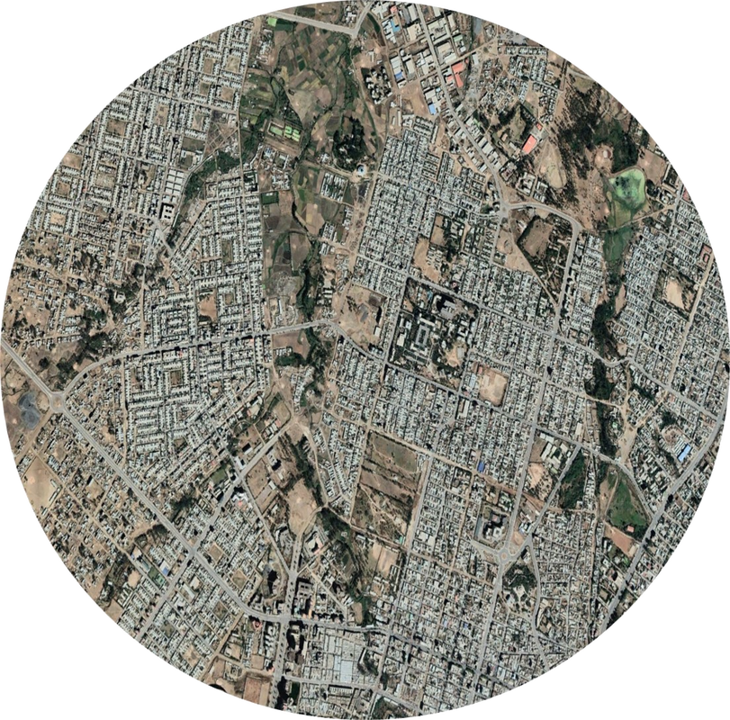
Urbanization continues to be one of the leading drivers of Land Cover Use Change (LCLUC) globally, although African countries appear to be at the forefront of these current urban expansion trends. In fact, predictions indicate that there will be more people living in cities in Africa in the next 30 years, than there are people living in cities right now around the world; with this increase in population growth it is also expected that we will see a 12-fold increase in urban land area. To date, the study of urbanization and its consequences and impacts has occurred at two very different scales and resolutions: (1) Large scale urbanization patterns (regional, national, or global) mapped at lower resolutions (≥30m pixels) , and; (2) small scale (city, neighborhood, parcel) urban heterogeneity mapped at high resolutions (<5m pixels). One approach is good for understanding urban growth, while the other method’s strength enables scientists to analyze landscape quality, human-environmental interactions, and tradeoffs in ecosystem services. This project aims to merge these divergent characterizations of urbanization so that we can capture large scale urbanization processes, while still quantifying the heterogeneity and quality of urban land uses across three African case study countries: Ethiopia, Nigeria, and South Africa. Furthermore, with this approach we can capture diverse multifunctional land uses within and around cities that provide a number of important ecosystem services to people near and far.
|
Research Objectives
Objective 1Develop a multi-resolution remote sensing framework for characterizing LCLUC across the last 5 years (2015-2020) to quantify temporal and spatial trends of urban development across three African case study countries: Ethiopia, Nigeria, and South Africa.
|
Objective 2Identify “LCLUC hotspots” using the SDG indicator 11.3.1 and assess tradeoffs and synergies of social and ecosystem services impacted by LCLUC within and surrounding “hotspot” urban growth centers.
|
Objective 3Within focal hotspot cities, incorporate very high resolution imagery for object based urban mapping for the assessment of the equitable distribution of social and ecological services to support policy and sustainable planning goals.
|
CollaboratorsDr. Melinda Laituri - Colorado State University (Co-I)
Dr. Melissa McHale - University of British Columbia (Co-I) |
Funding Agency: NASA
|
address |
|
