Meet the PI
Dr. Jody Vogeler, Lab Lead
|
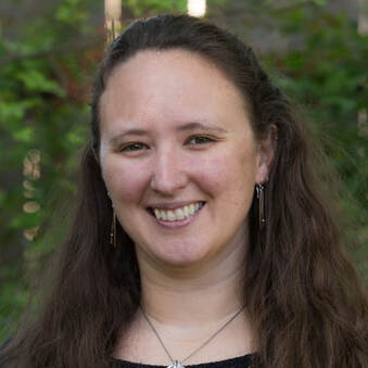
Dr. Jody Vogeler is a Research Scientist with the Natural Resources Ecology Laboratory and advising faculty with the Department of Ecosystem Science and Sustainability at Colorado State University. Dr. Vogeler's research is driven by the goal of gaining a better understanding of changing patterns within forest and woodland ecosystems due to climate change, management activities, and urbanization to inform sustainable management. With a strong background in field-based research, Dr. Vogeler has built her career integrating remote sensing data sets with field surveys to advance ecosystem science by characterizing, analyzing, and forecasting ecosystem dynamics over space and time. She strives to keep her lab at the forefront of remote sensing technology, geospatial methodologies, and quantitative approaches, leveraging cloud computing resources and machine learning for projects across local to national extents. Dr. Vogeler is passionate about providing opportunities for graduate students and early career as well as experienced researchers within her research lab to improve their applied remote sensing skills on her various grant-funded research projects and gain experience working on collaborative interdisciplinary research teams.
|
|

Current Lab Members
|
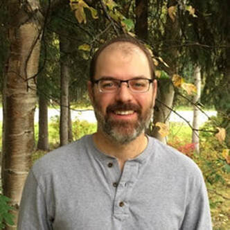
Patrick Fekety, Research AssociatePatrick works remotely from western Oregon. His research interests include using remote sensing to aid natural resource management. Patrick’s work is currently focused on mapping forest biomass and identifying & characterizing forest disturbances. He is a team member on a NASA Carbon Monitoring Systems project, which uses coincident field measurements, lidar, and Landsat time series data to predict aboveground forest attributes (e.g., basal area, biomass, volume) across the western US. Additionally, he has been investigating the spectral characteristics of forest disturbances across the Great Lakes region of the US. His expertise includes lidar processing and imputation-based modeling of forest attributes. Patrick received his Masters of Forestry from Oregon State University. He has worked as a forestry technician with USFS and BLM and as a researcher with Michigan Technological University and University of Minnesota.
|
|
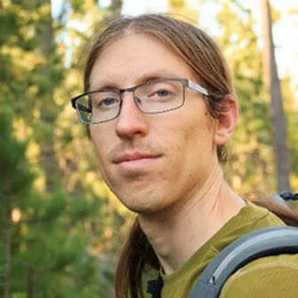
Steven Filippelli, Research Associate & PhD StudentSteve measures trees from space! His research has involved combining lidar, high-resolution aerial imagery, satellite image time series, and other remotely sensed data to track changes in forest structure. Steve’s recent work has primarily focused on quantifying woody encroachment and disturbance in the western United States and examining the implications of those dynamics for wildlife and carbon storage. This has involved applying a multitude of image processing and machine learning techniques to remotely sensed imagery, such as object-oriented analysis of aerial photos and Random Forest modeling with Landsat series. Steve obtained his master’s degree in Ecology from CSU where his thesis involved measuring the effects of wildfire on forest structure and biomass by fusing point clouds derived from aerial imagery and lidar. He is now working on a PhD in Ecology with a dissertation on remote sensing of vegetation and land cover change in the Greater Kruger area of South Africa. When Steve isn’t staring at trees on a computer screen he likes to visit them in real life by hiking and climbing in the Rocky Mountains.

|
|
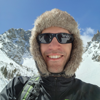
Peder Engelstad, Research Associate & PhD StudentPeder is a spatial ecologist with skills in R and python programming, high-performance computing, and machine learning. The bulk of his current work is alongside researchers at USGS FORT, where they build, optimize, and distribute species distribution models of invasive plant species under current and future climate scenarios. This longstanding collaboration has recently given Peder the opportunity to pursue a PhD program at CSU. In January 2023, he will start this journey with his nerd flag waving proudly. When not optimizing code, you will likely find Peder baking bread, canoeing, climbing, dungeon mastering, trying to remember German words, playing tennis, drinking an IPA, or starting a tinkering project that he will never finish.

|
|
Orion Cardenas-Ritzert, Research AssociateOrion is from Homedale, ID, recently completing his Masters in Ecosystem Sustainability at Colorado State University. His research interests lie in addressing human-driven environmental and sustainability issues in urban environments and understanding the implications they have on the well-being of humans, peri-urban and urban ecosystems. He is also passionate about advocating for environmental justice and incorporates it into his work whenever possible. His favored approach for addressing these issues is through the utilization of remote sensing and spatial analysis techniques. Orion's master’s and continued research has contributed to a NASA project assessing urbanization patterns and the tradeoffs among social and ecosystem services associated with urbanization-driven Land Cover and Land Use Change in Africa. He is also working on several other lab projects related to characterizing forest structure and change for informing ecological applications.
|

|
Jessie Eastburn, Research AssociateJessie earned her master’s degree in Geography from the University of Utah in 2023, where she conducted extensive research on the integration of field data, lidar data, and machine learning techniques for biomass modeling in piñon-juniper woodlands. In the lab, her main research focus is on developing spatial tools to inform natural resource management practices across western US forest systems by using high-density lidar and machine learning to model forest measurements. Jessie is passionate about using her skills in earth science, programming, and remotely sensed data processing and analysis to address research questions related to forest ecology, sustainable resource management, and natural hazards. Through her research, she aspires to contribute to a safer and more sustainable future for both human and natural systems. She also has a really cool rock collection.
|
|
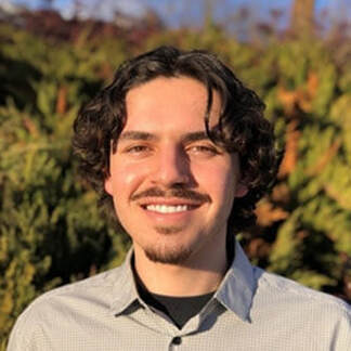
Daniel Rode, Research AssociateDaniel joined the Vogeler Lab in summer of 2023, soon after earning a Bachelor’s of Science in Ecosystem Science and Sustainability from Colorado State University. He is an open-source enthusiast who loves using software developed by passionate coders and researchers to process geospatial data. He started out in the IT services world but has always had a fascination with data and sustainability. His position in the lab allows him to use his technology skills and interests to further ecological research. Developing command-line pipelines for LiDAR and satellite imagery processing is his area of expertise. He is contributing to several lab projects related to forest and woodland ecosystems, including monitoring redcedar expansions in Kansas and characterizing forest structure to inform sustainable forest management planning across western US forests. Daniel uses Linux as his main operating system and believes that the best workflows should be versatile, scalable, programmatically reproducible, and accessible to everyone. In his spare time, Daniel enjoys spending time with friends hiking, playing board games, and cooking.
|
|
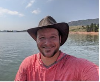
Derek Fedak, PhD StudentDerek is from St. Louis, MO and pursuing his Ph.D in Ecology. His research focuses on wildlife conservation, human-wildlife conflict mitigation, and habitat connectivity using a combination of fieldwork, remote sensing, GIS, and camera trap analyses. He is currently assessing how long-term land use/land cover changes and rewilding efforts are impacting the Greater Kruger National Park landscape to forecast potential scenarios to aid with management decisions. He received his B.S. in Biology from Boston College and M.S. from Duke University, where he studied tropical mangrove forests. Derek has conducted international fieldwork in Costa Rica, Mozambique, and South Africa and spent several years leading fieldwork throughout the northern range of Yellowstone, where he researched the impact that wolf reintroduction is having on riparian systems. He also researched stream restoration and willow survival in Rocky Mountain National Park. Derek spent several years in education teaching Biology, Geography, and Environmental Sciences in CO and WY before returning for his Ph.D. When not in the office, Derek likes to spend time hiking, biking, and SUP/kayaking with his daughter. He is also an avid trail runner that races over any mountain he can find.

|
Past Lab Members
Shahriar Shah Heydari, Postdoc 2021 - 2024
Matthew Shawcroft, Research Associate 2022-2024
Ashley Martinovich, Lab Technician 2022-2023
Hannah Liebman, Lab Technician 2022-2023
Sarah Sathe, Lab Technician 2022-2023
Morgan Guttman, Lab Technician 2022
Neal Swayze, Research Associate 2021-2022
Cody Bingham, Lab Technician 2021
Keana Shadwell, Lab Technician 2021
Eric Jensen, MS Student – Graduated Fall 2020
Thesis Title: Leveraging the Landsat archive to characterize plant species diversity and post-fire recovery in Great Basin shrublands.
Jillian LaRoe, MS Student – Graduated Summer 2020
Thesis Title: Characterizing distributions and drivers of emergent aquatic vegetation in Minnesota.
address |
|
